
Saturday storm to bring snow, gusty winds to parts of central, southern B.C. on Election Day
(Image Credit: CFJC Today/File Photo)
Oct 16, 2026 | 5:08 AM
Victor Kaisar
It’s shaping up to be a messy election day for some British Columbians as Environment Canada says a fall storm will bring mixed weather conditions to parts of the interior as well as some mountain highways this Saturday (Oct. 17).
A special weather statement is in place for the Coquihalla Highway between Kamloops and Hope, the Okanagan Connector between Merritt and Kelowna and Highway 3 from Hope to Princeton via Allison Pass.
It is also in place for the Nicola Valley; the Similkameen; the Cariboo, Chilcotin and 100 Mile areas; the eastern reaches of the Fraser Valley including Hope as well as the Manning-Skagit Valley, Prince George, Stuart-Nechako and the Lakes District.
A map of the affected areas can be found here.
“A sharp cold front moving across the B.C. Interior on Saturday will primarily generate strong gusty winds of 60 to 80 km/h,” Environment Canada said in a statement. “Snow levels will fall with the passage of this cold front and may produce some snow over high elevation highway passes.”
“In the wake of the cold front, cold and unstable air will generate scattered showers, small hail and risk of thunderstorms across the [Cariboo] and parts of the Columbia regions.”
Snow levels in southern B.C. could lower to 1,500 metres, while over central B.C, it could lower to 1,200 metres.
Winter tire requirements on B.C. highways kicked in on Oct. 1, and the latest on road conditions can be found at online at DriveBC here.
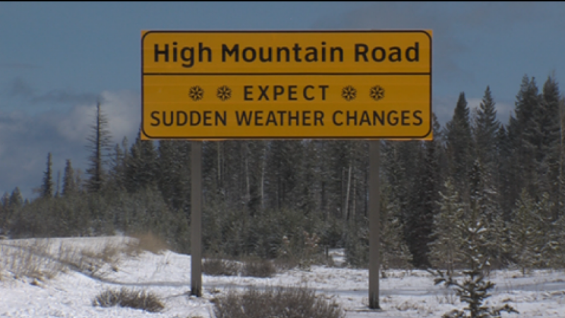
“Weather in the mountains can change suddenly resulting in hazardous driving conditions,” the statement added.
You can find the latest weather alerts from Environment Canada here.


Comments