
Special weather statement issued – Nov 12/21
Nov 12, 2021 | 12:20 PM
Vern Strecheniuk
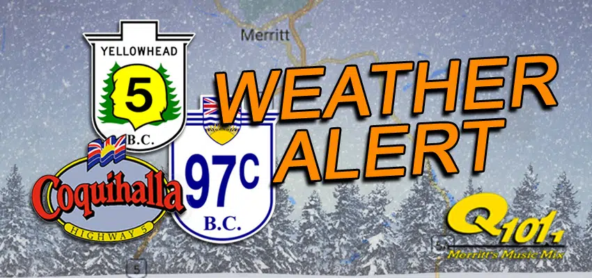
Special weather statement in effect for:
- Coquihalla Highway – Hope to Merritt
- Coquihalla Highway – Merritt to Kamloops
- Okanagan Connector – Merritt to Kelowna
Heavy snow beginning Saturday evening.
Locations: Coquihalla Highway – Hope to Merritt, Coquihalla Highway – Merritt to Kamloops, Okanagan Connector – Merritt to Kelowna, Highway 3 – Paulson Summit to Kootenay Pass, Trans Canada Highway – Eagle Pass to Rogers Pass.
Snow amounts: Upwards of 15 to 20 cm.
Timespan: Saturday evening to Sunday morning.
Remarks: A series of moisture laden systems associated with an atmospheric river from the Pacific will begin arriving Saturday evening and bring heavy snow to higher elevation highway passes over southern BC. As of now, there is still uncertainty with the timing and the total amount of snow that is expected for these highways, but the current model guidance highlights a period of heavy snow beginning Saturday evening over Highway 3 – Paulson Summit to Kootenay Pass, the Trans Canada Highway – Eagle Pass to Rogers Pass, the Okanagan Connector, and over the Coquihalla near the summits.
By Sunday morning, freezing levels will climb above 2000 metres and the heavy snow is expected to transition to rain, persisting into Monday.


Comments