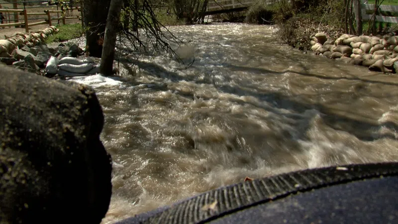
Atmospheric river may cause high water levels in Kamloops, Interior Region

Image Credit: CFJC Today
KAMLOOPS — An atmospheric river is heading towards British Columbia, and according to the BC River Forecast Centre’s latest data, Kamloops may also see water levels rise
Although this atmospheric river won’t be as intense as the one the province saw in November, the BC River Forecast Centre has issued a high stream flow advisory for the Lower Mainland and Vancouver Island.
After weeks of extreme cold weather in the Interior Region, there could be some challenges for lakes and rivers that froze.
The Forecast Centre says the atmospheric river is likely going to be more of a snowfall event for the Interior, which is going to add to a considerable snowpack in the Kamloops region.
“The watersheds upstream of Kamloops, it’s the North Thompson, and it’s sitting at 115 per cent of normal — and that’s compared to last year where it was essentially at around normal for Jan. 1 at around 101 per cent,” BC River Forecast Centre Hydrologist Jonathan Boyd explains. “Just something of note for the North Thompson is that it’s actually the highest since 2008 — so that’s the highest in 14 years.”
Boyd says the South Thompson River is at 104 per cent of normal, down 9 per cent from last year.
Kamloops is most at risk when both of those watersheds are at above normal. The Forecast Centre is unable to get water levels for the Nicola region at this time but was able to provide a reading for the watershed that enters the Thompson River downstream of Kamloops Lake.
It’s at 129 per cent of normal right now, which could pose a problem.
“It is above normal, and certainly that is an area of high concern anywhere in the Nicola or Coldwater just because of the unfortunate effects of the flooding from November. A high snowpack there is going to have an added risk just because of the vulnerabilities,” he says.
The numbers in the latest data are just preliminary numbers that can help the BC River Forecast Centre keep an eye on water levels for the spring.


Comments